Assignment
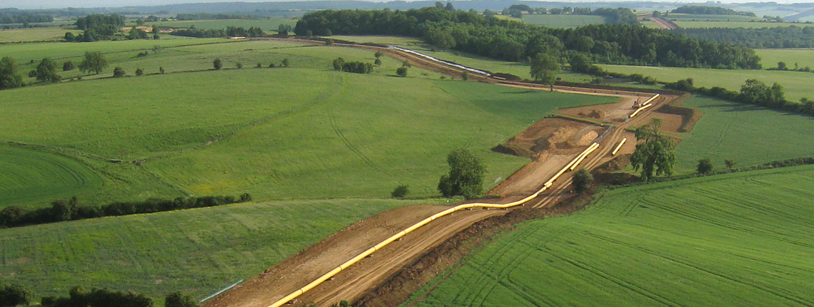
The company is the sole operator of the oil pipeline system in Slovakia. The geographical location and transportation capacity predetermine its use for connection with the European transit routes. The length of pipelines in Slovakia is about 996 km. It is therefore essential to maintain the pipeline route in a safe and reliable condition, including technological equipment located above ground.
Client
Transpetrol, a. s.
Utilities
300 employees

Managing pipeline system in Slovakia in order to manage, design and maintain integrity of pipelines.
Our solution
To monitor and manage the pipeline Transpetrol a.s. uses a technical and environmental information system RIS2 based on the geographical information system. RIS2 is a tool for prevention, protection and security of the pipeline. RIS2 was developed upon and fully supports the requirements of the pipeline operator for a modern information system.
- Pipeline inspection report – RIS2 allows you to create a database of the results of inspections and monitoring of various defects and damage to the piping (internal pipeline inspection, IKAO inspection, pipeline rounds inspection).
- RIS2 enables analysis of the results of the inspection checks conducted on the pipeline using the InlinePIG module. RIS2-InlinePIG as a reliable tool for the assessment of defects detected during the internal inspection of the pipeline, respecting the type of the defect and internal and external environmental factors.
- RIS2 follows the environmental management standard Environment ISO 14001, the American standard ASME B 31.8, which defines the rules for the transport of gas, liquid hydrocarbons and oil in Slovakia.
- RIS2 is an open system and is the basis of IS integration in Transpetrol, a.s.
- Video Mapping - connection of a video recording of the pipeline from air traffic control (helicopter) with a map via GPS coordinates.
The strength of RIS2 lies in the fact that besides being a technical information system, it is also a technical and environmental system, which can be used to monitor interactive bonds - the effects and consequences of a technically living object of an "oil pipeline system" and the landscape system, leading to the promotion of a long-term healthy environment.
Ing. Helena Bánska, CSc.
GIS specialist, TRANSPETROL, a.s.
Benefits
Saving operating costs and reducing the cost of delivery services.
Fast and accurate localization of the repairs site, accident etc.
Immediate provision of mapping and tabular outputs into technical reports and documents.
Support in the decision-making within the working processes of the pipeline operation, management and external actions.
Preventing emergencies, minimizing the cost of settling claims.
Reducing compensation for damages to land owners.